Radio Maps
What are Radio Maps?
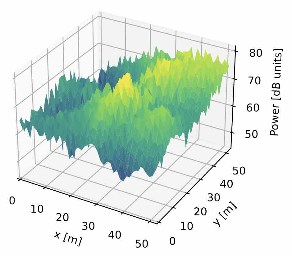
They are maps that characterize a radio communication channel across a geographic area. For example, a radio map may indicate the signal strength of a wireless network across a city or a building.
Why are they useful?
Radio maps allow us for example to know whether the signal strength is sufficient to support a certain service at a certain location without having to physically go there. For example, if you are considering switching to another cellular operator, you may want to know if the new operator provides 5G coverage in your summer house.
Who can benefit from a radio map?
Radio maps are useful for:
- End users: as indicated above, end users can use radio maps to determine whether a certain service is provided in a location of interest.
- Network operators: network operators can use radio maps to plan their network deployments and to optimize their network performance. Radio maps reveal locations of poor coverage or high interference, which can be used to determine where new base stations need to be deployed.
- Regulators: regulators can use radio maps to monitor the quality of mobile services, the usage of the radio spectrum, and the compliance of network operators with the regulations.
- Autonomous systems: radio maps enable autonomous vehicles or robots, such as self-driving cars or drones, to avoid planning their routes through areas with poor connectivity.
What kinds of radio maps exist?
There are two main classes of radio maps:
- Signal strength maps: For each location, these maps provide a metric that quantifies signal strength. This includes the received signal strength indicator (RSSI), the signal-to-interference-plus-noise ratio (SINR), the outage probability, the power spectral density, or simply whether there is coverage or not.
- Propagation maps: A propagation map quantifies how well a radio signal propagates between a given transmitter location and a given receiver location. For example, they may provide the channel gain of this link.
How are radio maps created?
There are two main ways to create radio maps:
- Radio map estimation (RME): In this approach, measurements are collected across the area of interest. These measurements are then interpolated, typically using machine learning algorithms, to predict the signal strength (or metric of interest) at locations where it was not measured.
- Simulation: In this approach, a model of the radio channel is used to predict the signal strength at each location. The model is typically based on empirical measurements or ray tracing.
Where can I find more information?
An accessible tutorial on radio maps and RME can be found in the following paper:
D. Romero and S.-J. Kim, "Radio map estimation: a data-driven approach to spectrum cartography," Vol. 39, 2022, IEEE Signal Processing Magazine.